
North Head Light
Outer headland
A preserved stone tower set above exposed water and remembered for long-range visibility in changing weather.
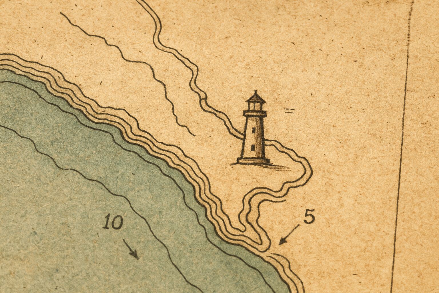
Use this page to locate surviving towers, connect each point to its historical context, and continue into the wider archive when you want deeper records.
Read the surviving lights as part of one coastline rather than isolated monuments.
Use place as the bridge back into the archive’s human and visual material.
Move through headlands, harbors, and shoreline clusters with a clear geographic anchor.
Culminating Geographic Reference
This static editorial map synthesizes architecture, keeper narratives, and shoreline context into one reading surface. Marker numbers correspond to the tower records listed below in the same order.
Legend
Numbered markers identify preserved towers; consult the records list for each tower name, region, and archival note.
Rows follow marker order 1–4 to keep map and records aligned.
Outer headland
A preserved stone tower set above exposed water and remembered for long-range visibility in changing weather.
Inner harbor approach
A lower harbor-facing light that guided vessels through narrower entries and sheltered waters.
Cliff coast
A surviving cliff-edge station whose setting shows how weather and topography shaped lighthouse placement.
Estuary edge
A preserved tower tied to shifting channels and calmer but still highly navigational coastal passages.